Notes for Westbury Town Guide
Notes prepared by Margaret Sanders for use in a Westbury Town Guide, July 1989.
The hamlet of Old Dilton lies between the Warminster and Frome roads out of Westbury, and is referred to in the Doomsday Book. It has a 14th century church, with a three-tier pulpit and old box pews. There was a thriving weaving community with two fulling mills on the River Biss, but with the coming of steam power, the population moved away and there are now only 6 houses, and the church is only used for the Harvest Festival service once a year.
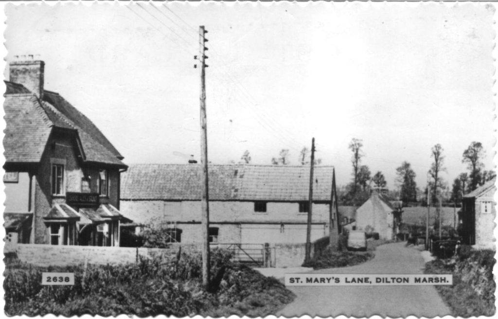
Dilton Marsh, about half a mile from Old Dilton down The Hollow, once the main route to Rudge, was a small community of weavers and farm workers which started to grow with the building of the turnpike road from Westbury to Standerwick. It is a long straggling village, with many cottages having very long front gardens, resulting from the making of the High Street at the time of the Enclosure Act. Clivy Gate Cottage at the western end has been converted from the toll house on the turnpike road, and some of the cottages still have the typical long weavers windows.
Chalcot House, about ½ mile towards Chapmanslade, is a small medieval manor house, built on the site of a Romano-British settlement. A Palladian style facade was added c. 1680. It was owned by the Phipps family for generations, and was considerably enlarged in the 1870s. At that period, nearly everyone in the village worked for the family, unless they were weavers or working on the farms. After the Great War the house was unoccupied for long periods and deteriorated, until in 1971 it was sold. The new owners carried out a restoration scheme, demolishing most of the Victorian additions, and the house is now back to about the size it was originally.

